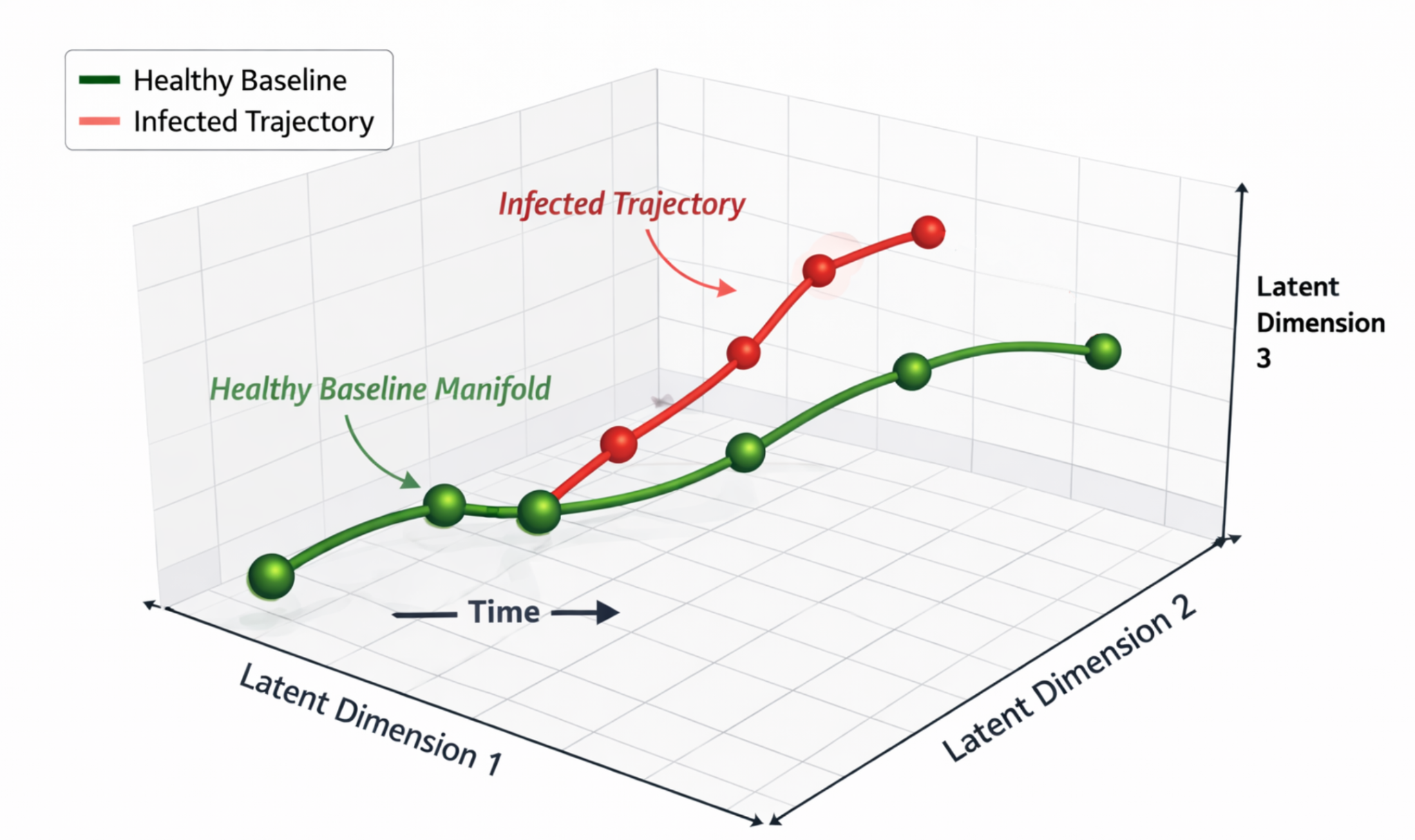
Temporal Hyperspectral Representation Learning for Biotechnology
Self-supervised temporal hyperspectral representation learning for biotechnology.
Earth observation & applied AI
Understanding our world through remote sensing, machine learning, and physical simulation.
Research Assistant Professor
Rochester Institute of Technology
Research & software
From learning representations of Earth to simulating the sensors that observe it.
Self-supervised temporal hyperspectral representation learning for biotechnology.
Automated scene construction for Landsat-scale simulations and sensor trade studies.
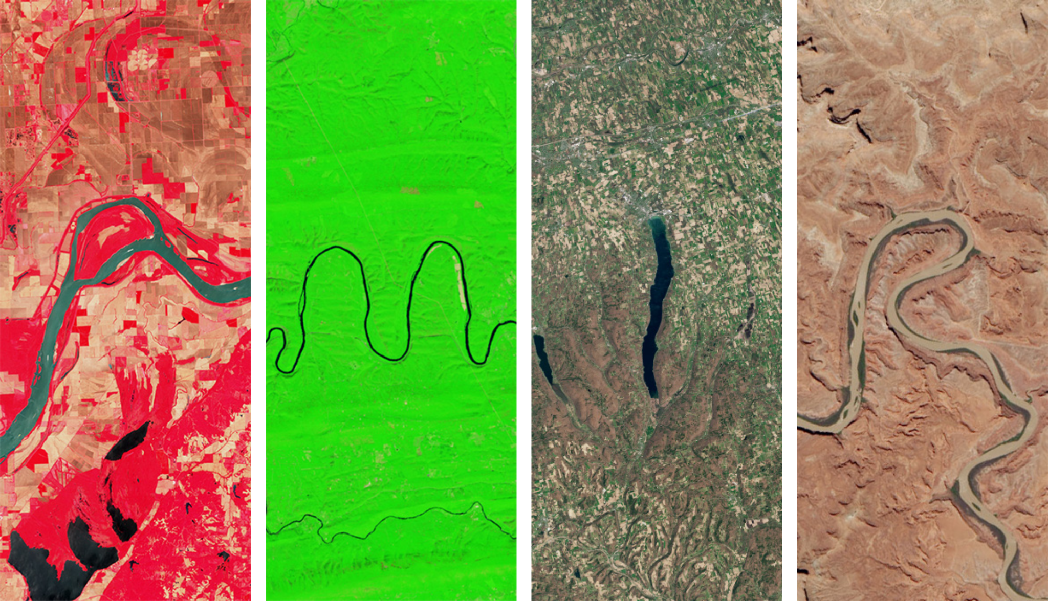
Estimating atmospheric water vapor and propagating uncertainty in Landsat split-window surface-temperature products.
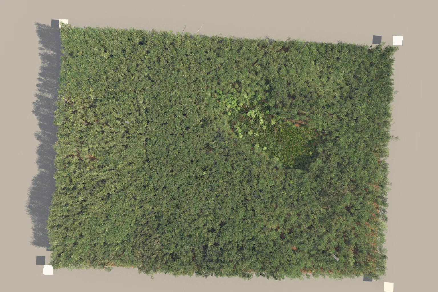
Estimating mixed material percentages inside forest voxels from 3D position and LiDAR intensity.
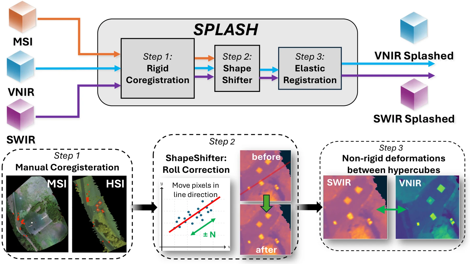
Aligning VNIR and SWIR pushbroom imagery from separate drones through global, row-wise, and elastic correction.
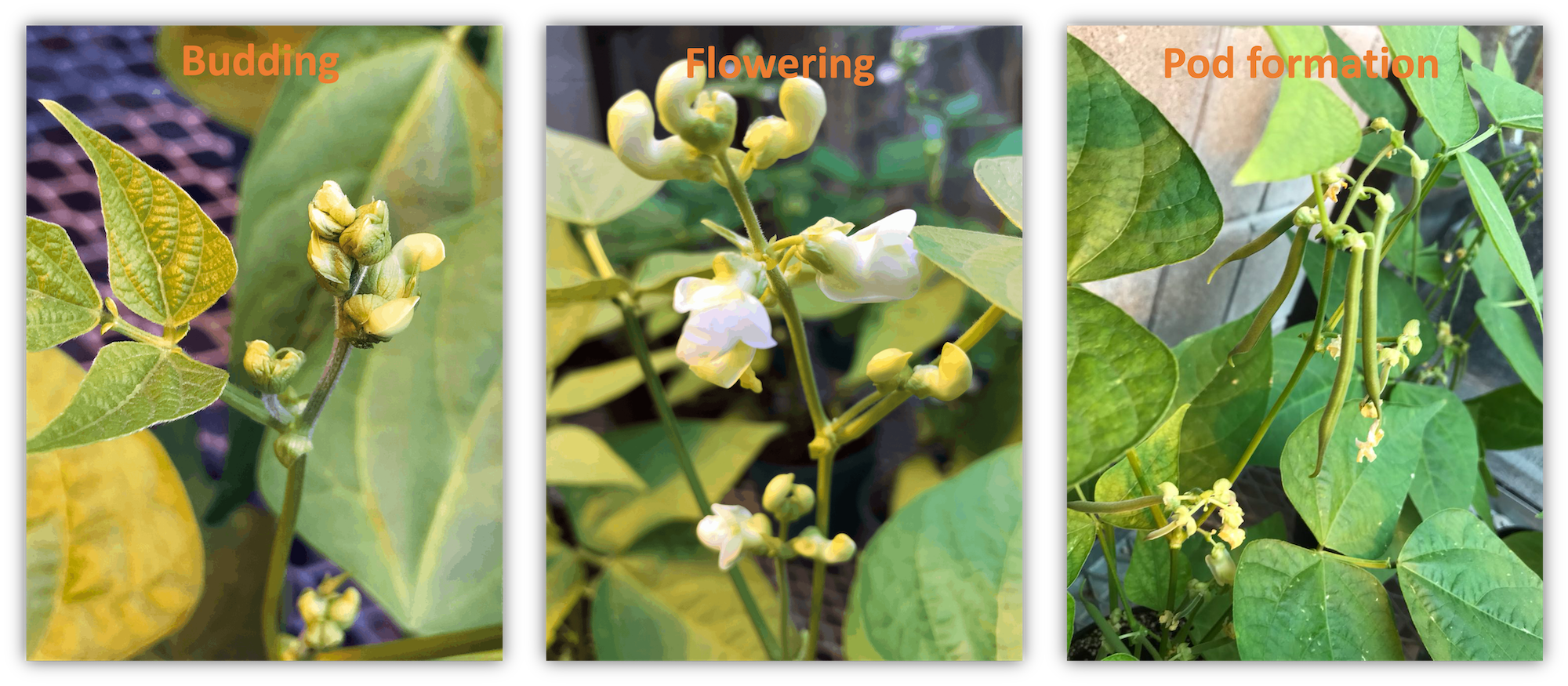
Connecting greenhouse spectroscopy with drone-based field observations for yield prediction and crop maturity assessment.

Nine feature-selection algorithms for regression and classification, with a familiar Scikit-Learn-style interface.
Papers & collaboration
IEEE Transactions on Geoscience and Remote Sensing
Remote Sensing of Environment
Computers and Electronics in Agriculture · 230, 109923
Remote Sensing · 15(3), 794
IEEE Journal of Selected Topics in Applied Earth Observations and Remote Sensing · 15, 4027–4044
Ph.D. dissertation · Rochester Institute of Technology
IEEE Transactions on Geoscience and Remote Sensing · 60, 1–17
Remote Sensing · 13(19), 3975
Remote Sensing · 12(22), 3809
Journal of Applied Remote Sensing · 14(2), 024519
Amir Hassanzadeh is a Research Assistant Professor at Rochester Institute of Technology, working at the intersection of remote sensing, machine learning, and physics-based simulation. His work develops methods and software for extracting meaningful information from satellite, UAV, hyperspectral, thermal, and LiDAR observations.
His research spans self-supervised geospatial foundation models, Landsat surface-temperature retrieval and uncertainty, large-scale DIRSIG scene construction, and agricultural monitoring. His early research translated insights from controlled greenhouse spectroscopy to field-scale UAV remote sensing for crop-yield and harvest-maturity assessment.
He teaches Applications of Machine Learning in Remote Sensing and advises graduate and undergraduate researchers.
Research, collaboration, and opportunities.